Group Landing
37 mi north · USDA Forest Service
Group Landing is a secluded area that offers a flexible space accommodating many outdoor activities, from a weekend family camping trip to a midweek company picnic.
Outdoors
Lakes, rivers and beaches near Gainesville where swimming is allowed on public land.
Good to know: Most natural swimming areas have no lifeguard; check water-quality advisories and current conditions before swimming.
37 mi north · USDA Forest Service
Group Landing is a secluded area that offers a flexible space accommodating many outdoor activities, from a weekend family camping trip to a midweek company picnic.
39 mi north · USDA Forest Service
Situated in Baker County, Florida, this campground includes 64 campsites and is open 24 hours/day. All sites are available at recreation.gov. There's something here for everyone in this lakeside campground.
43 mi southeast · USDA Forest Service
Salt Springs Recreation Area is one the recreational jewels of the Ocala National Forest, with a spectacular natural mineral spring that gives the area its name.
Map of 12 places loads as you scroll.
Group Landing is a secluded area that offers a flexible space accommodating many outdoor activities, from a weekend family camping trip to a midweek company picnic.
Situated in Baker County, Florida, this campground includes 64 campsites and is open 24 hours/day. All sites are available at recreation.gov. There's something here for everyone in this lakeside campground.
Salt Springs Recreation Area is one the recreational jewels of the Ocala National Forest, with a spectacular natural mineral spring that gives the area its name.
Mill Dam Group Campground offers a fun and relaxing setting for groups of up to 150 to enjoy Ocala National Forest.
Juniper Springs Campground is one of the most popular campgrounds in the Ocala National Forest. The location offers deeply shaded sites within walking distance of some of Florida's most beautiful natural springs.
Alexander Springs Recreation Area is located in the Ocala National Forest near the beautiful, turquoise waters of Alexander Springs.
Lake Dorr Cabin is set along the south shore of beautiful Lake Dorr, ideal for a family getaway. The cabin is open year-round and creates a great setting for plenty of outdoor water fun.
Clearwater Lake Recreation Area offers a quiet getaway along the southeastern edge of the Ocala National Forest, just outside the community of Paisley, Florida.
The Guana Tolomato Matanzas National Estuarine Research Reserve encompasses approximately 55,000 acres of salt marsh and mangrove tidal wetlands, oyster bars, estuarine lagoons, upland habitat and offshore seas in Northeast Florida.
Whether you are looking to spend a night with family and friends around a campfire under the moss covered branches of the live oak trees, or looking for the rugged challenges and solitude of the wilderness, you will find it on Cumberland…
St Marys is the gateway to Cumberland Island, Georgia's largest and southernmost barrier island. Here pristine maritime forests, undeveloped beaches and wide marshes whisper the stories of both man and nature.
Discover a dynamic barrier island shaped by dunes, coastal hammocks, and Mosquito Lagoon. Walk among ancient Timucua shell mounds and connect with thousands of years of human history.
Distances are straight-line miles from downtown Gainesville. Listings come from Recreation.gov’s federal recreation database; check each official page for hours, fees, fire restrictions and closures before you go.

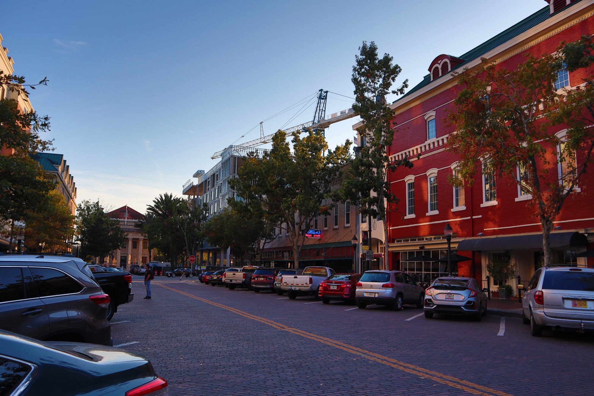
A WALK AROUND TOWN
A recorded downtown Gainesville walk, passing University Avenue, storefront blocks and the clock-tower area. Shared by Florida Streaming; the creator’s closing graphics are part of the original film.
Watch on YouTube ↗
A WALK AROUND TOWN
A short recorded walk along downtown Gainesville’s palm-lined streets and pedestrian areas, including The Promenade. Shared by City Walk USA.
Watch on YouTube ↗Group Landing (USDA Forest Service), about 37 miles north of Gainesville as the crow flies. Next are Ocean Pond Campground (39 mi) and Salt Springs Recreation Area (43 mi).
Based on Gainesville’s average highs, March–October. Conditions at higher elevations can be much cooler.
Federal agencies including USDA Forest Service, National Park Service, National Oceanic and Atmospheric Administration. Each listing links to its official page for hours, fees, closures and current conditions.