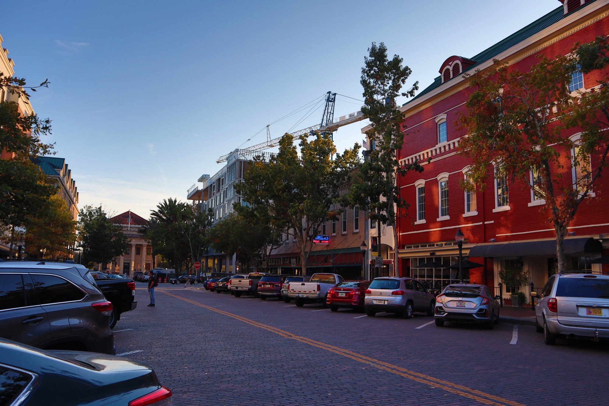
Gainesville, FL Downtown

Outdoors

Wildlife viewing and birding near Gainesville

Refuges, lakes and wild areas near Gainesville for wildlife viewing and birdwatching.

18places to see wildlife
39 mito the closest

Good to know: Early mornings and evenings are best for wildlife; bring binoculars and keep a respectful distance.

Closest picks

1

Ocean Pond Campground

39 mi north · USDA Forest Service

Situated in Baker County, Florida, this campground includes 64 campsites and is open 24 hours/day. All sites are available at recreation.gov. There's something here for everyone in this lakeside campground.

2

Lower Suwannee National Wildlife Refuge

47 mi southwest · Fish and Wildlife Service

The refuge is bisected by 20 miles of the famous Suwannee River and includes 30 miles of coastal marsh habitat along the Gulf of Mexico.

3

Juniper Springs Rec Area

51 mi southeast · USDA Forest Service

Juniper Springs Campground is one of the most popular campgrounds in the Ocala National Forest. The location offers deeply shaded sites within walking distance of some of Florida's most beautiful natural springs.

Map of all 18 places

Map of 18 places loads as you scroll.

30 to 75 miles (11)

39 mi north · USDA Forest Service · Campground

Ocean Pond Campground

Situated in Baker County, Florida, this campground includes 64 campsites and is open 24 hours/day. All sites are available at recreation.gov. There's something here for everyone in this lakeside campground.

  • Accessible Swimming
  • Backpacking
  • Biking
  • Birding
  • Boating
  • Camping
  • Canoeing
  • Fishing

47 mi southwest · Fish and Wildlife Service

Lower Suwannee National Wildlife Refuge

The refuge is bisected by 20 miles of the famous Suwannee River and includes 30 miles of coastal marsh habitat along the Gulf of Mexico.

  • Biking
  • Birding
  • Boating
  • Fishing
  • Hiking
  • Hunting
  • Motor Boat
  • Nature education

51 mi southeast · USDA Forest Service · Campground

Juniper Springs Rec Area

Juniper Springs Campground is one of the most popular campgrounds in the Ocala National Forest. The location offers deeply shaded sites within walking distance of some of Florida's most beautiful natural springs.

  • Boating
  • Camping
  • Fishing
  • Hiking
  • History
  • Ranger programs
  • Swimming
  • Water sports

54 mi southeast · USDA Forest Service · Campground

Doe Lake Group Site

Doe Lake is a group campsite with a variety of activities. Centered around a historic lodge with a large group kitchen, it's an ideal place for major outdoor gatherings of up to 250 people.

  • Camping
  • Fishing
  • Horseback riding
  • Wildlife viewing

56 mi southeast · USDA Forest Service · Campground

Big Scrub Campground

Perennially popular with off-road vehicle enthusiasts, Big Scrub Campground sits in the Ocala National Forest in central Florida. A trailhead within the facility offers riders campsite-to-trail access.

  • Camping
  • Picnicking
  • Wildlife viewing

57 mi south · Fish and Wildlife Service

Chassahowitzka National Wildlife Refuge

Chassahowitzka NWR was established in 1943 for waterfowl conservation. The refuge protects saltwater bays, estuaries, brackish marshes, and hardwood swamps in Homosassa, FL.

  • Birding
  • Boating
  • Camping
  • Fishing
  • Hiking
  • Hunting
  • Paddling
  • Photography

57 mi south · Fish and Wildlife Service

Crystal River National Wildlife Refuge

Crystal River National Wildlife Refuge, established in 1983, is the only refuge created specifically for the protection of the threatened Florida manatee, a subspecies of the West Indian manatee.

  • Birding
  • Boating
  • Fishing
  • Hiking
  • Non-Motorized Boating
  • Photography
  • Picnicking
  • Ranger programs

59 mi southwest · Fish and Wildlife Service

Cedar Keys National Wildlife Refuge

Cedar Keys National Wildlife Refuge was established in 1929 by President Herbert Hoover to protect a breeding ground for colonial nesting migratory birds during a time when market hunters, desiring feathers for the ladies' apparel…

  • Boating
  • Educational Programs
  • Fishing
  • Nature education
  • Paddling
  • Photography
  • Ranger programs
  • Wildlife viewing

68 mi east · National Oceanic and Atmospheric Administration

Guana Tolomato Matanzas National Estuarine Research Reserve

The Guana Tolomato Matanzas National Estuarine Research Reserve encompasses approximately 55,000 acres of salt marsh and mangrove tidal wetlands, oyster bars, estuarine lagoons, upland habitat and offshore seas in Northeast Florida.

  • Paddling
  • Photography
  • Ranger programs
  • Swimming
  • Wildlife viewing

75 mi north · Fish and Wildlife Service

Okefenokee National Wildlife Refuge

The Okefenokee National Wildlife Refuge was established in 1937 as a "refuge and breeding ground for migratory birds and other wildlife.” The refuge conserves the unique features of the Okefenokee Swamp,the headwaters of the Suwannee and…

  • Boating
  • Camping
  • Educational Programs
  • Fishing
  • Hiking
  • Hunting
  • Motor Boat
  • Non-Motorized Boating

75 mi northeast · National Park Service

Timucuan Ecological & Historic Preserve

Visit one of the last unspoiled coastal wetlands on the Atlantic Coast. Discover 6,000 years of human history and experience the beauty of salt marshes, coastal dunes, and hardwood hammocks.

  • Boating
  • Hiking
  • History
  • Paddling
  • Picnicking
  • Wildlife viewing

75 miles and farther (7)

86 mi northeast · National Park Service · Campground

Cumberland Island National Seashore Camping Permits

Whether you are looking to spend a night with family and friends around a campfire under the moss covered branches of the live oak trees, or looking for the rugged challenges and solitude of the wilderness, you will find it on Cumberland…

  • Backpacking
  • Beach
  • Birding
  • Boating
  • Camping
  • Fishing
  • Hiking
  • Kayaking

97 mi northeast · National Park Service

Cumberland Island National Seashore

St Marys is the gateway to Cumberland Island, Georgia's largest and southernmost barrier island. Here pristine maritime forests, undeveloped beaches and wide marshes whisper the stories of both man and nature.

  • Biking
  • Boating
  • Camping
  • Hiking
  • Hunting
  • Swimming
  • Wildlife viewing

103 mi northwest · Fish and Wildlife Service

Banks Lake National Wildlife Refuge

The Banks Lake National Wildlife Refuge was established in 1985 under the Fish and Wildlife Act of 1956 and the Land and Water Conservation Fund Act of 1965.

  • Boating
  • Fishing
  • Hunting
  • Motor Boat
  • Non-Motorized Boating
  • Photography
  • Wildlife viewing

113 mi west · Fish and Wildlife Service

St. Marks National Wildlife Refuge

The Refuge was established in 1931 to provide wintering habitat for migratory birds. It is one of the oldest refuges in the National Wildlife Refuge System.

  • Boating
  • Educational Programs
  • Fishing
  • Hiking
  • Hunting
  • Photography
  • Ranger programs
  • Wildlife viewing

114 mi southeast · National Park Service

Canaveral National Seashore

Discover a dynamic barrier island shaped by dunes, coastal hammocks, and Mosquito Lagoon. Walk among ancient Timucua shell mounds and connect with thousands of years of human history.

  • Boating
  • Camping
  • Fishing
  • Hiking
  • Horseback riding
  • Paddling
  • Swimming
  • Wildlife viewing

121 mi southeast · Fish and Wildlife Service

Merritt Island National Wildlife Refuge

The refuge traces its beginnings to the development of the nation’s Space Program. In 1962, NASA acquired the lands and waters adjacent to Cape Canaveral to establish the John F. Kennedy Space Center.

  • Birding
  • Boating
  • Fishing
  • Hiking
  • Hunting
  • Non-Motorized Boating
  • Photography
  • Ranger programs

130 mi northeast · Fish and Wildlife Service

Wolf Island National Wildlife Refuge

Wolf Island National Wildlife Refuge, which also includes Egg Island and Little Egg Island, is located at the mouth of the Altamaha River on the Georgia coast.

  • Fishing
  • Motor Boat
  • Non-Motorized Boating
  • Photography
  • Wildlife viewing

Distances are straight-line miles from downtown Gainesville. Listings come from Recreation.gov’s federal recreation database; check each official page for hours, fees, fire restrictions and closures before you go.

Get outside around Gainesville

Downtown Gainesville Florida Walking Tour video thumbnail

A WALK AROUND TOWN

Downtown Gainesville Florida Walking Tour

A recorded downtown Gainesville walk, passing University Avenue, storefront blocks and the clock-tower area. Shared by Florida Streaming; the creator’s closing graphics are part of the original film.

Watch on YouTube ↗
A Relaxing Walking Tour Downtown Gainesville, Florida | City Walk USA video thumbnail

A WALK AROUND TOWN

A Relaxing Walking Tour Downtown Gainesville, Florida | City Walk USA

A short recorded walk along downtown Gainesville’s palm-lined streets and pedestrian areas, including The Promenade. Shared by City Walk USA.

Watch on YouTube ↗

More outdoors near Gainesville

Questions

Where is the closest place for wildlife & birding near Gainesville?

Ocean Pond Campground (USDA Forest Service), about 39 miles north of Gainesville as the crow flies. Next are Lower Suwannee National Wildlife Refuge (47 mi) and Juniper Springs Rec Area (51 mi).

Who manages these places?

Federal agencies including Fish and Wildlife Service, USDA Forest Service, National Park Service. Each listing links to its official page for hours, fees, closures and current conditions.

Gainesville AI

Your Gainesville local guide
Hey there!

I'm Gainesville AI. Ask about neighborhood food, independent shops, local history or planning a visit.

AI recommendations may be inaccurate. Verify hours and prices. Questions are processed by Cloudflare. Privacy